Rent a canoe or kayak, spend all day fishing, or simply enjoy a relaxing day.
Croatia has a number of rivers, streams and underground springs that make this country a jolly nice place to be. All these water sources are important parts of Europe’s natural heritage.
Croatia’s rivers flow into one of two seas: the Adriatic or the Black Sea. 62% of the country’s rivers flow into the Black Sea. This is perhaps surprising given the length of the Adriatic coast, but it’s due to the fact that the country’s two mightiest rivers, the Danube and the Sava, and therefore all their tributaries, flow tirelessly to the east.
Other rivers that wend their way through Croatia’s central lowlands, forming long sandbanks along their way, include the Drava, the Mura, the Krapina, the Orljava and the Bosut. The Drava is one of the most pristine lowland rivers in Europe. In central Croatia we have the Korana, the Una, the Mrežnica, the Kupa and the Dobra – calm and green in their lower reaches, and sometimes interspersed with pools and waterfalls. Croatia’s uplands boast the rivers Kupa and Dobra and a wealth of brooks and streams. And those rivers that flow into the Adriatic are the Cetina, the Krka, the Zrmanja and the Neretva.
Since some of these rivers are incredibly clean, they offer numerous tempting opportunities for sports such as rafting, canoeing and fishing, not to mention swimming and enjoying a good meal.
The time when you can take advantage of all this is from April to November. In the spring when the rivers are high after the winter snows and rain, the experience of rafting and other sports is pure exhilaration. Novices might prefer to wait for summer when the waters are more sedate. Rafters may like to know that Croatia’s rivers are graded 3 for complexity, while anglers should be aware that you need a permit for freshwater fishing (contact the Croatian Sport Fishing Association, Trg Krešimira Ćosića, www.ribolovni-savez.hr).
The rivers which are perfect for a thrilling rafting adventure – or a refreshing summer dip – are the Kupa, the Mrežnica, the Drava, the Gacka, the Zrmanja, the Krka and the Cetina.
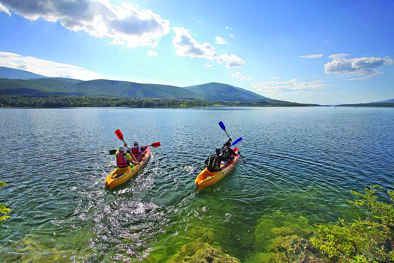
Photo by Milan Šabić
The source of the Kupa is the rocky karst landscape of the Risnjak National Park. The river is 296km long and the waters are a bracing 7˚ Celsius. The river passes through the towns of Ozalj, Karlovac, Petrinja and Sisak. Call into the tourist information centres in any of these places for more information about messing about on the river. On the Kupa you can enjoy rafting, canoeing and fishing. In the summer or autumn months there are excellent places to swim at Pravutina, Jurov, Bubnjarci and Zibel (at the latter there are also restaurant and sports facilities).
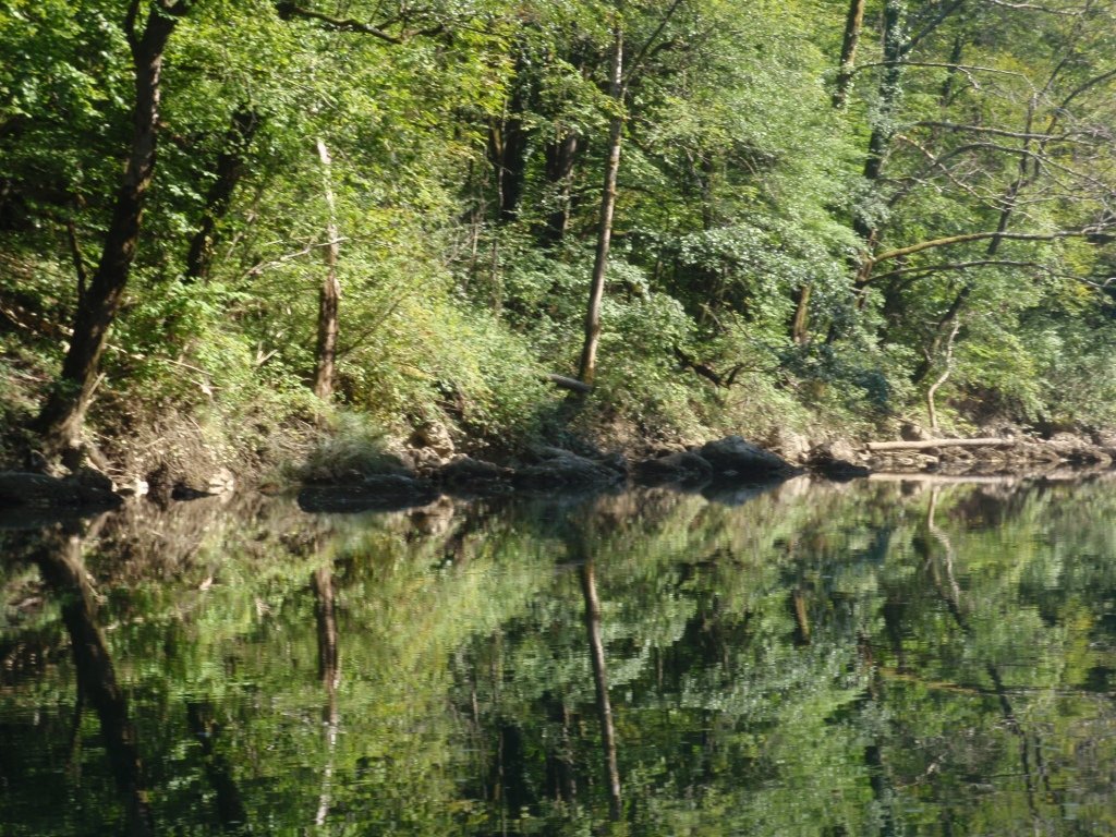
Photo by Višnja Arambašić
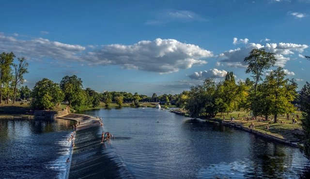
Photo by Igor Cepurkovski
The Mrežnica is 63km long, with its source near Slunj. It joins the River Korana near Karlovac. It passes through the towns of Duga Resa and Karlovac: call into the tourist information centres in those towns for information: www.tz-dugaresa.hr, visitkarlovac.hr. This river is great for boating and canoeing, and has loads of little waterfalls which are great for rafting. At some points calm pools have formed which are perfect for swimming: in the summertime the temperature can be as high as 27˚ Celsius.
The source of the Drava is in the Italian South Tyrol. The river passes through Austria, Slovenia and Croatia before entering Hungary. It’s 720km long and in Croatia it passes through Varaždin, Legrad, Belišće and Osijek. As always, pop into a local tourist information office to find out more. You can enjoy canoeing and rafting (both the adrenaline and the more sedate kind).
If you’re a bit more adventurous you can take part in a hunt for the “Drava Monster” in the nature reserve at Veliki Pažut at the confluence of the Mura and the Drava, or you can go boating in traditional wooden Drava boats called čonovi. If you happen to be in Osijek you’ll find restaurants and pubby eateries all along the riverbank. Be sure to try the fiš fish stew, or čobanac, a hotpot type meal.
The River Gacka is in large part subterranean; in total it’s 61km long, while the overground part now covers only 11km. It passes through the town of Otočac. The Gacka’s waters are crystal clear, and it’s an amazing spot for anyone who fancies a bit of underwater caving or exploring sites of archaeological or natural interest. There are recreational and leisure facilities along the river, particularly country-style eateries. The river is renowned for great trout, and you can fish here between 1 March and 30 September. However, be aware that in the channel known as Karlov kanal near Otočac fishing is forbidden. The Plitvice lakes are nearby: an unmissable wonderland of lakes and waterfally: www.np-plitvicka-jezera.hr. Also, don’t miss the mills at Majerovo vrilo – it’s like stepping back in time, and you can see flour being milled in the old fashioned way. There’s a tourist information centre to answer all your questions about the river and the surrounding area.
The Zrmanja’s source is in the southern part of the Lika region; it flows into the Novigrad Sea. It’s 69km long and the biggest town it flows through is Obrovac. It’s fantastic for rafting as it has rapids and little waterfalls. It flows through a canyon full of interesting rock formations. The Velebit National Park is nearby (www.np-sjeverni-velebit.hr), and you can visit or stay at the mountain lodge at Zavižan (Gornja Klada, Sveti Juraj).
The River Krka bubbles out of the earth near Knin and runs straight into the Adriatic, all 73km of it. It passes through Knin, Skradin and Šibenik. It has seven waterfalls made from travertine, a type of limestone. Also well worth seeing are the lake, island and monastery at Visovac. South of Skradin the Krka flows into another lake, Prukljansko jezero. The Krka National Park covers the river between Knin and Skradin. There are tourist boats which will take you to Visovac island, the waterfall Roški slap, the Krka monatstery and the forts at Trošenj and Nečven. There are several places where you can get something to eat and drink, and there are designated spots for swimming.
The source of the Cetina is in the northwest foothills of the Dinaric Alps. This river is 105km long, again it flows into the Adriatic sea. It flows through Sinj, Trilj and Omiš. The Cetina is great for rafting, canoe safaris, canyoning and more. Try the regional specialities of trout, eel and frog at Radmanove mlinice, www.radmanove-mlinice.hr.
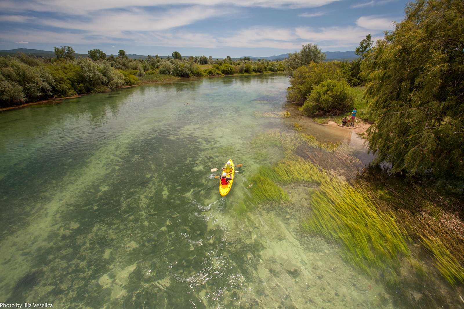
Photo by Ilija Veselica


Comments