Territory
Poland covers an area of 312,685 square kilometres and is the ninth biggest country in Europe. It borders the Baltic Sea (528km) and seven countries, namely (moving clockwise) the Russian enclave of Kaliningrad (210km), Lithuania (103km), Belarus (416km), Ukraine (529km), Slovakia (539km), Czech Republic (790km) and Germany (467km).
Longest River
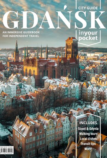
The Vistula (Wisła) River is Poland's longest river at 1,047km and flows through Kraków and Warsaw before reaching the Bay of Gdańsk (Zatoka Gdańska). Gdańsk sits on the Motława River which reaches the Baltic via the Martwa Wisła.
Highest Point
The highest peak in the country is Rysy (2,499m above sea level) which can be found in the Tatry Mountains in the south of the country.Population (2017)
Poland - 37,858,000Warsaw - 1,764,615
Kraków - 766,739
Łódź - 690 422
Wrocław - 637,683
Poznań - 541,563
Gdańsk - 464,829
Katowice - 296,262
Gdynia - 246,306
Sopot - 37,700